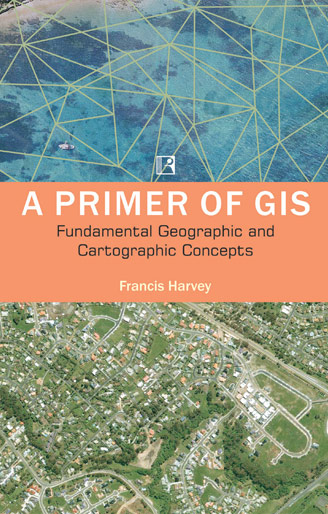
About the Book
This pragmatic book introduces key concepts and skills to prepare students to understand and use geographic information systems (GIS). The text thoroughly explains what geographic information is, how it is represented and analyzed, and what it communicates about human and environmental activities and events that take place on our planet. Basic principles of map making and map reading are integrated with discussions of relevant information technologies and applications. Written in an accessible style, the text is organized into four parts that can be used in any sequence in entry-level and more specialized GIS courses. User-friendly features include practical examples and exercises, engaging vignettes, and helpful Internet resources.
Contents
Communication and Geographic Understanding
Goals of Cartography and GI: Representation and Communication
Choices in How We Make Representations
GI and Cartography Issues
Principles of GI and Cartography
Projections
Locational and Coordinate Systems
Databases, Cartography, and GI
Surveying, GPS, Digitization
Remote Sensing
Positions, Networks, Fields, and Transformations
Advanced Issues in GI and Cartography
Cartographic Representation
Map Cultures, Misuses, and GI
Administration of Spaces
About the Author / Editor
Francis Harvey is Associate Professor of Geography at the University of Minnesota. He has also worked at the University of Kentucky and at a variety of academic and professional positions in Germany, Switzerland, and the United Kingdom, and has taught GIS courses in other academic and professional programs around the world. His research is wide ranging, with a current focus on governance of land and spatial data infrastructures.